
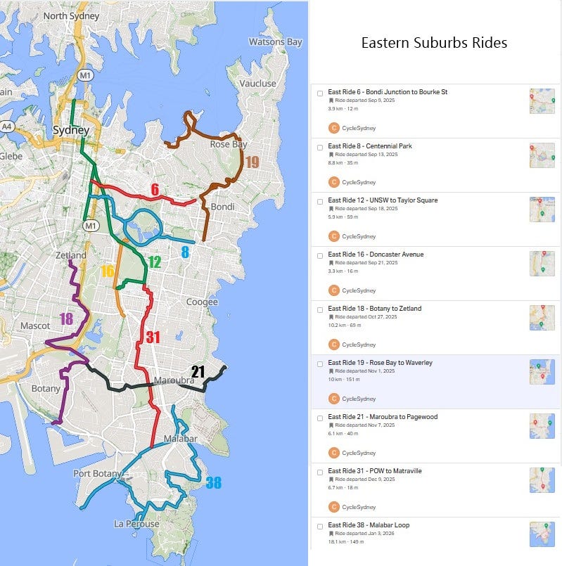
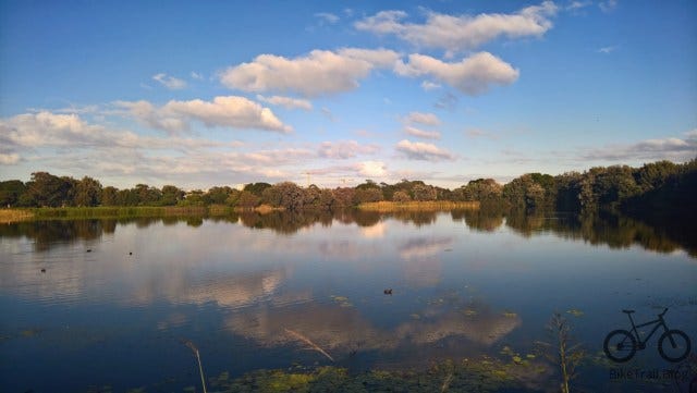
Eastern Suburbs: The Park Sanctuary & The Bays and the Coast
The Eastern Suburbs network is anchored by the “whirlpool” of Centennial Park—the spiritual home of Sydney cycling. This hub page organizes some of the 100-ride Sydney collection into the essential paths that feed into the park sanctuary and the spectacular scenery on the better of the less-car coastal loops further away from Centennial.
Want any west of Bourke St - see the city collection
The Centennial Park Sanctuary
The primary feeders and “Scholarly” routes that orbit or lead directly into the Grand Drive.
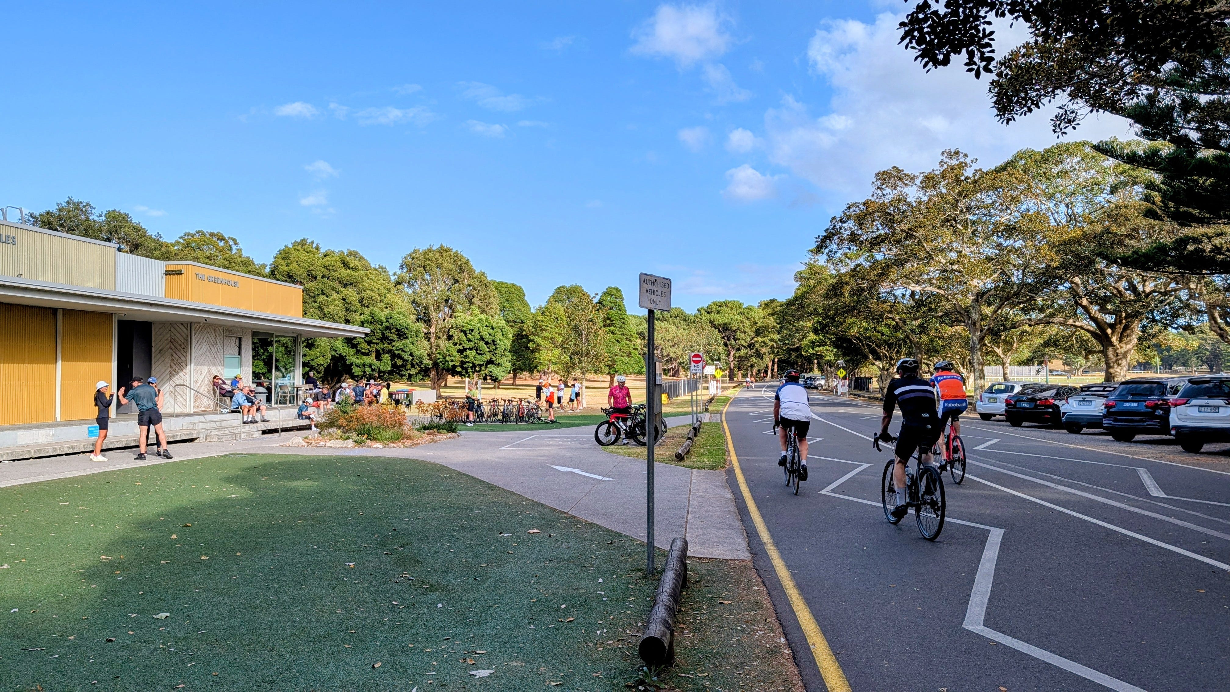
Ride 8: Surry Hills to Centennial Park
The essential link from the City’s protected grid. This route utilizes the Devonshire Street corridor and the Tibby Cotter Bridge to provide a safe, high-quality transition into the park.
Link: cyclesydney.com/p/ride8

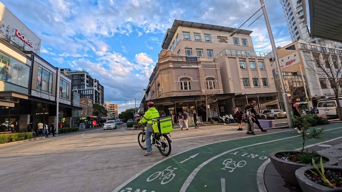
Ride 6: Bondi Junction to the City
A vital commuter spine that touches the northern edge of Centennial Park. It manages the high-traffic corridor between the Bondi Junction transport hub and the CBD via the Oxford Street cycleway.
Link: cyclesydney.com/p/ride6

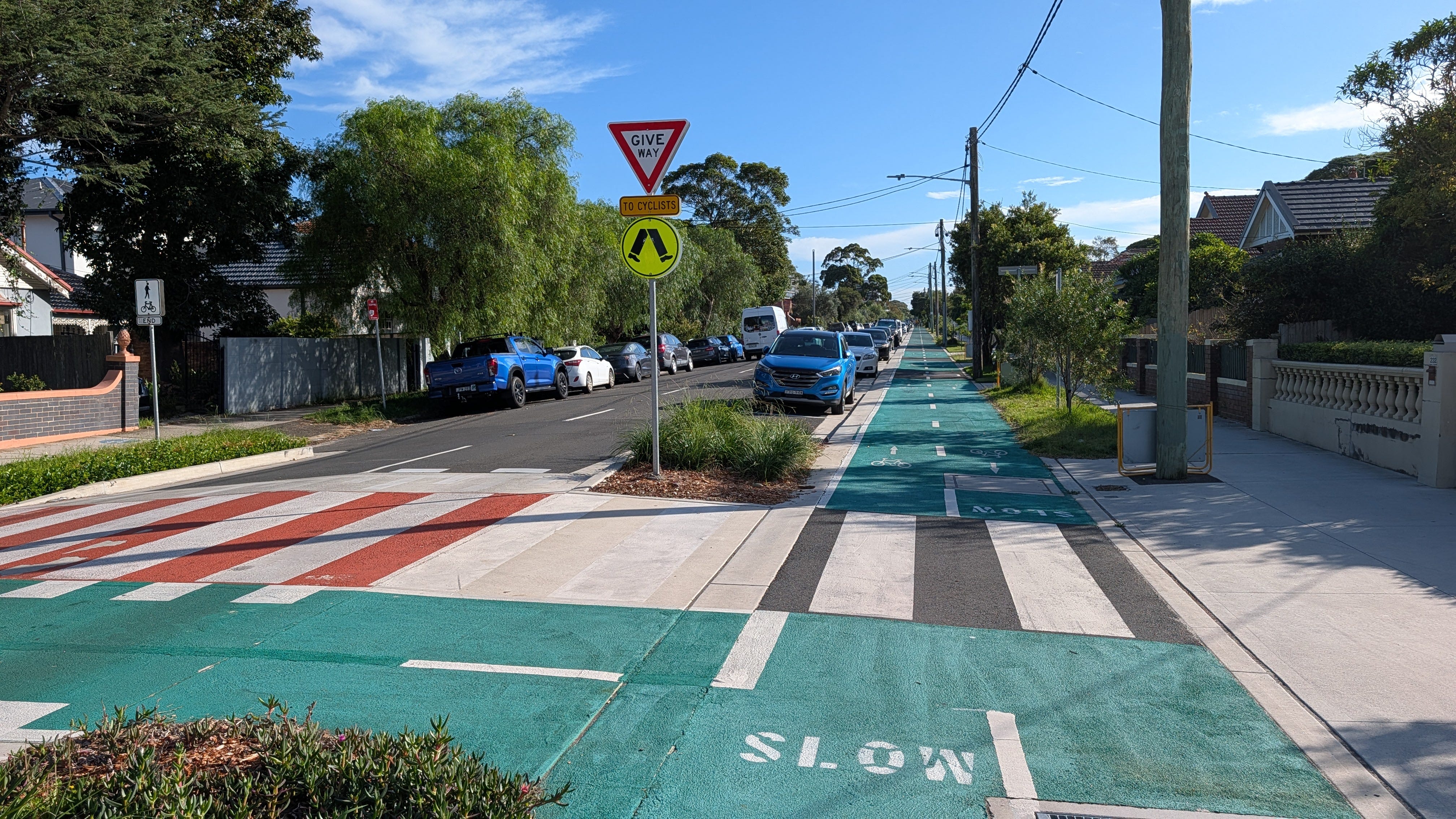
Ride 16: Kingsford to Centennial Park
A “seamless green connection” using the Doncaster Avenue and Houston Parade cycleways. This route provides a low-stress feeder for riders coming from the South-East into the park’s southern gates.
Link: cyclesydney.com/p/ride16

Ride 12: UNSW to Taylor Square
Known as the “Scholarly City Bike Route,” this 5.8km separated path is the primary corridor for students and staff from the UNSW Kensington campus and the Prince of Wales Hospital.
Link: cyclesydney.com/p/ride12
")
")
The Bays and the Coast
Scenic, scenic loops and southern links that are independent of the central park network.
Ride 38: The Malabar & La Perouse Loop
A “gentle loop” starting at Little Bay that winds through the Prince Henry estate. This ride is focused on the coast, staying entirely on dedicated cycle paths down to the historic shores of La Perouse.
Link: cyclesydney.com/p/ride38


Ride 18: Botany North to Central Station
A functional north-south link passing through Eastlakes and Zetland. It connects the northern reaches of Botany to the Zetland going the calmer but not straighter ways.
Link: cyclesydney.com/p/ride18

Ride 19 - Double Bay to Rose Bay and then up through Waverley to Bronte Heights
📹Videos of the East
There are a lot of videos in the east as Garry the mapper lives in the East. You can see a collection of videos on The East on YouTube here
How to Use These Guides
Each ride link above takes you to a dedicated page featuring:
A GPS Map for your phone or bike computer
More details, other map links and handy hints. 📹 🗺️
Please note that these ride numbers are for identification only. They are not a consecutive tour; they are individual rides designed to help you navigate specific corridors. Choose the ride that best matches your overall target, ride, improve next time.
Connecting the Network: Looking to go further? Check out our City of Sydney Collection for rides through the city and out to the Cooks River and over the Harbour Bridge.
If you want to see all the 60+ rides across Sydney and all the other segments …